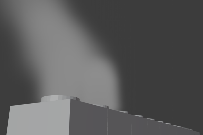
Analysis of water vapor plume
Principal Investigator(s)
Carl Salvaggio
Research Team Members
Ryan Connal
Project Description
This project focuses on utilizing imagery to develop methods of analysis to calculate the volume of the condensed water vapor plume from industrial mechanical draft cooling towers. The primary objectives include determining which spectral regions could be utilized to view the spectral and spatial characteristics of such plumes, which would assist in the research and development of methods for 3D reconstruction with multi-view imaging. The former involves imaging condensed water vapor plumes against various backgrounds to observe potential contrast as well as significant spatial features which could be utilized in 3D reconstruction algorithms. Water vapor plumes emit energy so collecting imagery in the longwave infrared was pursued for combination with the spatial information from visible sensors. However, other spectral regions should be considered since water vapor plumes could display prominent features and information across the electromagnetic radiation spectrum. With longwave sensors, midwave and shortwave along with visible and near-infrared will be deployed. This aspect of the research incorporates modeling across MODTRAN to simulate various atmospheric conditions with varying liquid cloud water density and air temperature within the plume boundary.
The process of 3D reconstruction for a plume, whose physical structure is constantly changing, requires instantaneous capture from a multitude of sensors at various positions around the cooling towers. Leveraging imagery with optical distortion accounted for is imperative in the process of stereo reconstruction, so a cheap methodology was developed for the calibration of longwave-infrared sensors, while allowing for stereo calibration with visible sensors. While developing methods for reconstruction of a plume utilizing visible imagery alone, the intended location for data collects, the Jasper nuclear site in South Carolina, was modeled to scale. This allowed for the deployment of sensors in field to determine the best locations for a 3D reconstruction experiment, as well as providing simulated imagery of condensed water vapor plumes in the visible regime. With this data the methods of Structure from Motion and space carving were implemented to assess the success of reconstruction, and to plan the future experiment at the Jasper site.

