Researchers win grant to improve Landsat 8 data
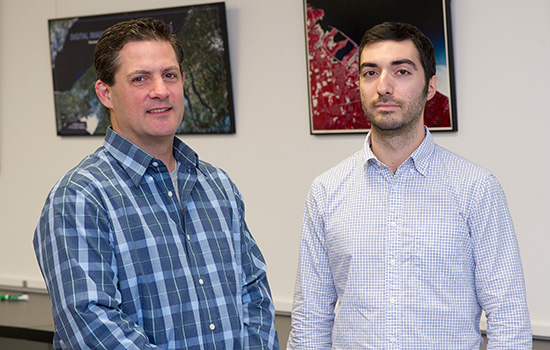
Aaron Gerace and Matthew Montanaro calibrate thermal sensor
NASA
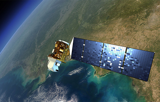
An artist’s rendition of Landsat 8 satellite.
Rochester Institute of Technology researchers have won funding from the U.S. Geological Survey to ensure accurate temperature data from NASA’s Landsat 8 satellite. Climate researchers depend on public data from the Earth-sensing satellite to measure surface changes over time.
The agency awarded Aaron Gerace and Matthew Montanaro, senior scientists in RIT’s Chester F. Carlson Center for Imaging Science, a five-year, $500,000 grant to continue monitoring improvements they made to Landsat 8’s Thermal Infrared Sensor, or TIRS.
The RIT researchers developed a software correction to compensate for faulty optics discovered in the instrument following the Landsat 8 launch in 2013. Corrected image data collected from the Thermal Infrared Sensor shows accuracies similar to previous Landsat instruments, said Gerace and Montanaro.
Their software solution fixed a problem in which unwanted light entered the instrument and resulted in inaccurate temperature measurements of the Earth’s surface. Prior to the correction, errors in the image data were as high as 10 degrees Celsius in areas with extreme surface temperatures like Antarctic or desert regions. Mid-range surface temperatures typical of the United States were less affected by wide margins of error, the researchers said.
The U.S. Geological Survey Earth Resources Observation and Science Center in Sioux Falls, S.D., began using the software correction in its operational processing of Landsat 8 data in early 2017. The corrected image data is part of the public domain.
“Support from USGS means we’ll be able to monitor the Thermal Infrared Sensor and its enhanced capabilities now that the stray-light algorithm has been implemented,” Gerace said.
Gerace and Montanaro published their findings, “Derivation and validation of the stray light correction algorithm for the thermal infrared sensor onboard Landsat 8,” in the March 15 issue of Remote Sensing of Environment.
NASA’s Landsat program of Earth-orbiting satellites has monitored global changes to the landscape since 1972. Landsat satellites orbit the Earth’s poles and pass over the same spot every 16 days to study how the Earth changes over time.
 RIT alumni Aaron Gerace ’10 (imaging science), left, and Matt Montanaro ’05, ’09 (physics, imaging science) are exploring new techniques to improve Landsat 8’s thermal instruments. A. Sue Weisler


